We ❤️ Open Source
A community education resource
Getting started with OpenCPN Chart Plotter Navigation
Use this open source Chartplotter and Marine GPS navigation software to chart a course and track your position.

Whether you’re sailing down a local river or setting out on the open seas, keep track of your nautical location with OpenCPN.
If you’re traveling by boat down your local waterway or sailing around the world, you can bring great navigation software and maintain your commitment to open source software. OpenCPN is free and open source software developed by sailors. It is the primary navigation interface for vessels with full-time helm-visible navigational suites. The software is written in C and released under a GPLv2 license.
Install OpenCPN
OpenCPN can be installed on Linux, macOS, or Windows. Packages are available for Fedora, Ubuntu, and Raspberry Pi. I installed OpenCPN on my Linux laptop using Flatpak. For macOS and Windows, you can download and install packages from the OpenCPN website. There’s also an Android app version available from the Google Play store.
Use OpenCPN
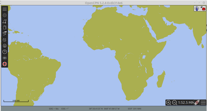
Once it’s installed, launch OpenCPN to try it out. The main menu bar is located on the left.
The first choice from the top is Options. Here, you can select how the program appears in the display and what units of measurement of speed, distance, and depth to use. You also can set how latitude and longitude are displayed in decimal degrees.
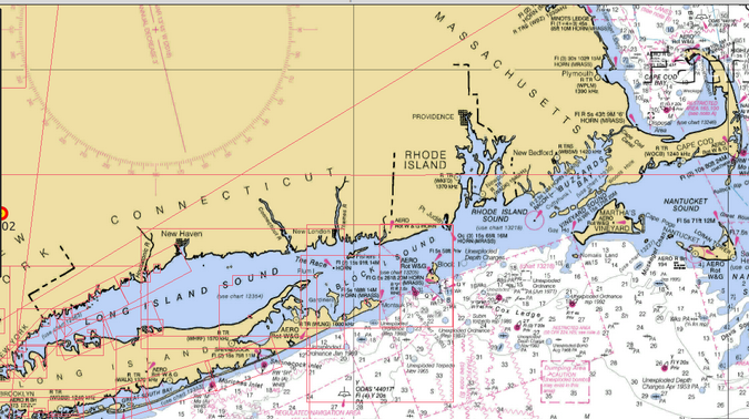
Get charts
OpenCPN doesn’t come pre-installed with charts. Which charts you choose to install are generally determined by your location and, potentially, your destination. Many free charts are available, including those from the US NOAA Office of Coast Survey, Marinha Do Brasil (which includes parts of Antarctica), East Asia Hydrographic Commission, many sources of inland European waterway charts, and many others. The chart page also links to commercial sources, should you require them.
Learn more
The project provides an excellent quickstart guide to make it easy for new users.
The OpenCPN project also has excellent documentation to guide you through the installation and setup process. It provides step-by-step directions for first use and installing charts. The program also comes with a list of supplementary software you can use with it.
OpenCPN is available in 20 languages. There are lots of how-to videos available on Vimeo and YouTube to help you become familiar with the software.
Get involved
David S. Register is the lead developer for the project. He originally developed OpenCPN in 2009 for his own use. Other folks expressed an interest in his software, and now there are thousands of users and more than 40 active developers worldwide. You can get involved with the project by consulting its excellent developer documentation.

The opinions expressed on this website are those of each author, not of the author's employer or All Things Open/We Love Open Source.